WHAT IS DOTGIS?
DOTGIS offers technology agnostic Geospatial Analysis solutions that integrate any technology and dataset you need on your daily basis.


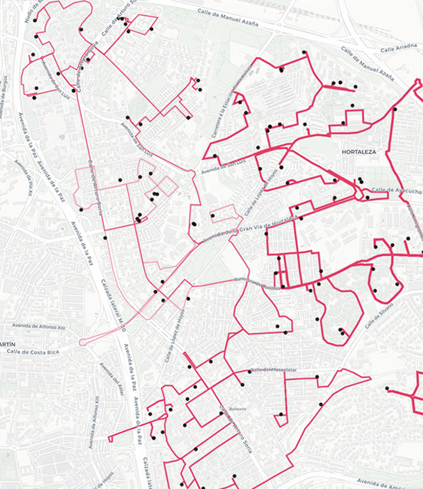
![]()


WHAT IS DOTGIS?
DOTGIS is a way of understanding Geographic Information Systems (GIS) and its application to the daily work of people who manage data and information from different sources.
The main problem that our clients bring to us is based on the difficulty they have in finding, collecting, manipulating and ultimately analyzing the great amount of data they have.
At DOTGIS we believe in maps as the best solution to integrate all that information and make it accessible to all users, regardless of the end user’s knowledge of technology. Maps allow us to use geolocation as a common language between data, facilitating integration processes. In addition, maps are the oldest tool for understanding information briefly, making that information accessible.
The technology that makes it possible to exploit the full potential and integration of data is GIS, and from the application of GIS to business and to daily problems comes Location Intelligence.


GIS & Location Intelligence
In a simplified way, it can be defined as the set of tools that enable geolocalised data to be stored, analyzed and visualized. These tools therefore involve databases, communication services between components, algorithms that provide intelligence and transform raw data into useful information.
The name alone identifies the key characteristics that define them:
- System: a whole set of components that connect to each other.
- Information: involves the handling of data and information.
- Geographic: it’s all about WHERE.
All the processes carried out with GIS are based on geolocation and the X and Y coordinates that uniquely define the location of the data. Here we find the main advantage of this type of technology: location is the information that enables and streamlines the integration of external data. In addition, location the data extends the analysis capabilities of all this information. DOTGIS not only analyses data based on its attributes, but also based on its location (overlap, proximity, etc.)
What is Location Intelligence?
Location Intelligence is the application of geolocation technology or GIS to the business realities, search for agility and consistency in decision-making, which can also be defined in a simplified way as the application of geolocation technology to business intelligence.
The integration of GIS technologies such as Cloud processing, Big Data or Artificial Intelligence (AI) in computer vision, natural language processing or machine learning techniques allows the creation of intelligent systems that facilitate, streamline, support and give consistency to the decision-making process in business. Being able to instantly locate the best location for the next point of sale, valuing a real estate asset considering all the surrounding information in seconds or receiving live information on assets scattered throughout the territory or remote areas are actions that a Location Intelligence solution makes it easy and instantaneous, allowing people to go a step further and take care of what really matters.
A DOTGIS solution encompasses all the components involved in a GIS plus additional components that integrate the business logic and automate it to the extreme, constituting an intelligent decision support system.

Who uses GIS and Location Intelligence?
A recent Forbes Insights report, “The Context of Location: Financial Services and Location Intelligence”, sponsored by Pitney Bowes, focuses on the main strategic areas where location directly influences customer experience: channel optimization, site selection and geolocation for the target audiences in marketing strategies.
Private companies and public entities are increasingly finding in GIS and Location Intelligence solutions their best ally to remain at the forefront and be able to continue competing in the sector. The industries that are betting the most on and benefiting from this technology are:
- LOGISTICS: Benefits from Location Intelligence in tasks such as route planning, fleet monitoring and optimization, holistic analysis of the entire supply chain, and other related use cases.
- REAL ESTATE: the location of real estate assets is a key factor in the entire valuation process. In addition, the extreme usability of 2D and 3D visualizations makes it possible to add value marketing and support products throughout the marketing and asset management process.
- RETAIL: in both physical and digital marketing, in mass consumption or local commerce, it is nowadays essential to understand where the target customer is located and what interactions they generate with their environment. Thus, in tasks such as sales forecasting and commercial planning or business expansion, Location Intelligence provides fundamental and high-performance information.
- UTILITIES: Utilities companies have the greatest need for remote asset management. In addition, understanding the market and the target customer greatly enhances the return on investment.