Today more than 5,000 satellites orbit around the Earth, the majority of them designed to monitor the Earth specifically.
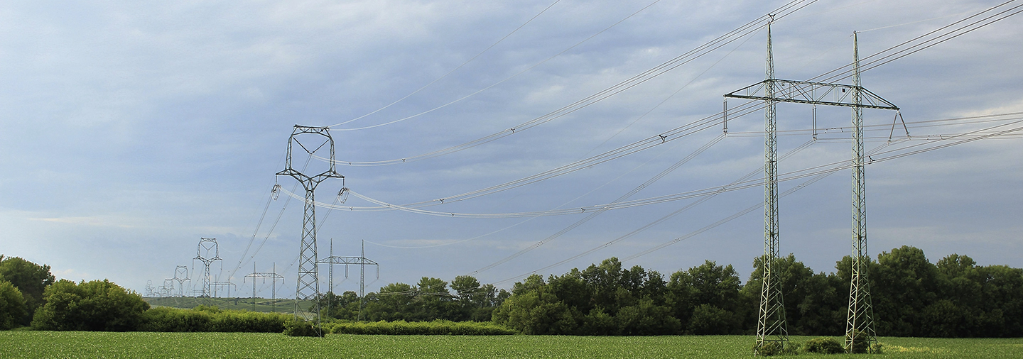
Electrical companies allocate a huge part of their yearly budget to the revision, management and maintenance of their power lines. Amongst these recurring tasks they highlight the importance of pruning the vegetation that surrounds their power lines with the intention of avoiding overgrowth that could cause grave problems such as fires and cuts in electrical supplies.
The Process of Automation of Power Lines
Nowadays, the work on the review of power lines has not been automated sufficiently because it can be extremely costly. This is because the automation process requires many visits on site as well as to organize drone flights where it can be logistically difficult to collect adequate data.
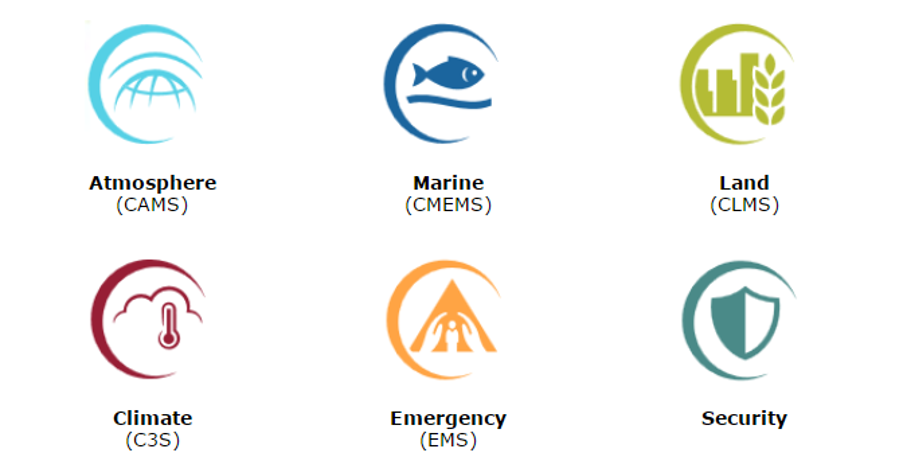
As we have previously stated, the majority of satellites currently in orbit and those that will be in orbit in the future are launched to monitor the Earth, each with different aims. For example, the monitoring of the natural processes that happen not only within the continents but also in the oceans and atmosphere. A clear example of this is the European program Copernicus from the European Space Agency (ESA) whose mission consists of generating an autonomous, high quality terrestrial observation capability that operates continuously and offers results that are freely accessible to the scientific community or by any interested party.
Below you will see displayed the different sectors in which this program can be applied:
The Earth observation satellites are orbiting throughout all the planets acquiring different types of images every day of the year. There are many different providers and platforms from which you can download these types of images well, for free or for a charge depending on the type of satellite and the resolution of the captured images. Nowadays, it is also possible to program these satellites to acquire images of a certain date and location.
The Advantages of Following and Monitoring Power Lines
Both due to the recurrence of the images and to their resolution, the use of these types of resources to track and monitor the power lines of electricity companies is now a reality. The advantages include the following:
- Obtaining high resolution images on a regular basis.
- The sweeping of large areas of land from one day to the next.
- They do not require much post-processing, being available for analysis from the moment of acquisition.
- It is not necessary to carry out field visits, as in the case of drones, offering possibilities of use worldwide.
There is a large volume of free images and in turn causes an increase in current providers causing a reduction in the costs of images, a trend that will continue in the coming years.

Artificial Intelligence and Deep Learning
At DOTGIS, we apply artificial intelligence and deep learning algorithms to maximize the profitability of solar installations, and can also calculate the payback period to make data-driven decisions. In addition, these algorithms in turn allow different types of analysis:
- Detection of the different types of vegetation as well as their degree of maturity.
- Analysis of the state of health and/ or diseases of the vegetation according to different indices calculated from the different spectral bands of the images.
- Detection of the changes that have taken place in images on different dates, visually and agilely identifying the areas in which there has been growth of vegetation in the areas that had been pruned.
- Detection and prediction of lateral and vertical invasions of vegetation in the easement zone, creating alerts before such invasions can affect the lines.
- Calculation of the free height between the vegetation and the lines, allowing to distinguish between areas where there is no danger from others where the vegetation can invade the lines.

If you would like to learn more about how we work here at DOTGIS to implement the monitoring of power lines, please feel free to contact us through:
José Crespo Cadórniga
CTO & Project Manager